AERIAL SURVEYS
For large estate developments or civil projects, drones provide a more efficient, safer and cost-effective way to collect accurate images and land surveying data
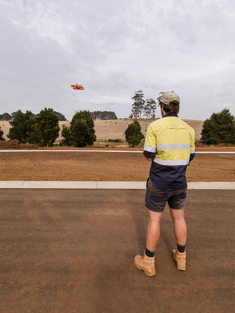
Having completed the arduous process of accreditation through CASA, our chief pilot and our other accredited operator use our high-end mapping drone to conduct aerial surveys over large properties and construction sites. Drones are also used to gather data and images on land that is difficult or dangerous to access. The data collected by the drone is highly accurate and because the surveying takes place in the air, there is no interruption to works on site.
How We Use Drones to Survey Your Land
Our team are highly-trained and qualified (both as individuals and as a company) in the safe and effective use of drones. We utilise state-of-the-art equipment, imaging sensors and software platforms to collect and analyse on-site data and create detailed and accurate plans of your land.
Here’s an overview of how it works:
- Accredited operator flies our drones over your site, collecting geo-referenced, high-resolution digital images and data points.
- We use an online platform called Propeller and specialised software to process images to generate 3D point clouds, topographical data and digital terrain models.
- The data is carefully analysed and translated into a detailed and accurate site report.
If you’d like to find out how we can help you with building envelopes, land boundaries and setting out of the placement of house slabs on your building project, contact our team on 1300 NOBELIUS
ABOUT US
"We’re always striving to become better at what we do and are constantly on the lookout for new innovations and technologies that can improve our services and add value to our client’s projects”
Contact Us
Phone: 03 5941 4112
20 Henry Street,
Pakenham, Victoria 3810
PO Box 461,
Pakenham Victoria 3810
E: [email protected]